europeaks
NORTHERN IRELAND - SLIEVE DONARD 825 M
SLIEVE DONARD VIA GLEN RIVER
Slieve Donard (/ˌsliːv ˈdɒnərd/ SLEEV DON-ərd; from Irish: Sliabh Dónairt, meaning "Dónairt's mountain") is the highest mountain in Northern Ireland and the wider province of Ulster, with a height of 850 metres (2,790 ft).
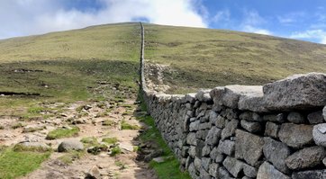
One of the Mourne Mountains, it is near the town of Newcastle on the eastern coast of County Down, overlooking the Irish Sea. It is also the 7th highest peak on the island of Ireland. The Mourne Wall – built in the early 20th century – runs up the western and southern slopes of the mountain, joining a small stone tower at the summit. Also on the summit are the remains of two ancient burial cairns, one of which is the remains of the highest known passage tomb in Ireland. In Irish mythology the mountain was associated with the mythical figures Boirche and Slángha. It was later associated with, and named after, Saint Donard, who was said to have made the summit his hermitage.
2019-06-01 After visiting the Carpathian Mountains I had a short stay at home for a few days before flying to Dublin. At the airport I picked up my car and had a 1,5 hour drive to Donard Car Park in Newcastle where the hiking trails start. I had chosen an early flight so I could go for the top of Slieve Donard on the same day leaving Stockholm Arlanda.
This was my first "real" mountain which I was going solo, no company and no guide with me. I was kind of nervous but I had also consciously chosen this mountain since it is an easy hike with well marked hiking trails so it will be a good test for me.
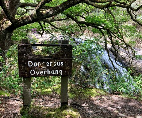
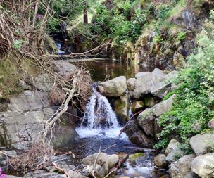
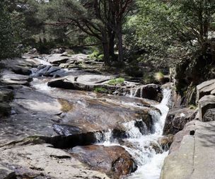
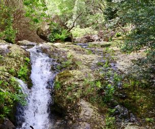
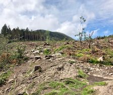
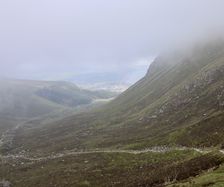
The trails starts right behing the Donard Car Park, where you can park for free. The first 20 minutes you walk in a forest, you pass beatuiful small waterfalls and streams. Later on the forest opens up and you can see the top of Slieve Donard.
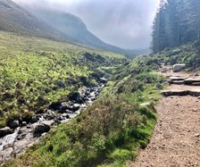
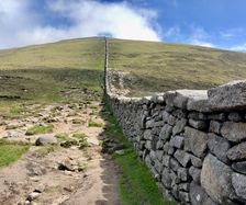
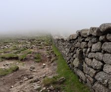
The trail up to the top is following the Glen River and you can also see Slieve Commedagh (767 m) which is the second highest peak in Northern Ireland. After around an hour quite fast walking you get close to the last part which is a little bit more stepper before you reach the plateu where the wall begins. If you go to the right you will reach Slieve Commedagh and if you go to the left you will reach Slieve Donard 850 m. The last part of the trail you walk along a wall named Mourne Wall which was built between 1904 and 1922 by the Belfast City and District Water Commissioners to enclose a reservoir.
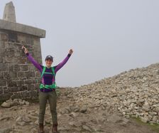
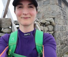
It took me around 1 hour 30 minutes to the top. When I reached the top the weather changed from clear blue sky and sun to cloudy and poor visibility. After taking some pictures and enjoying the top I walked back to my car and the total time was 3,5 hours. A perfect warm up for Carrauntohil the day after.
After putting a check mark on Slieve Donard I walked down to the seaside resort town, Newcastle. A very cute city with a beach walk, plenty of bars and resturants to chose between if you want to celebrate with good food and something to drink.
Later on I drove back to Dublin for an about two hours drive and checked in at the hostel I was going to stay over the night before leaving to southern Ireland for Carrauntohil.
Summit number 12.
RECENT POSTS
© All rights reserved.

